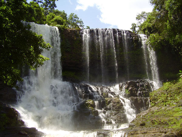
Bu Sra is Mondulkiri's biggest and most popular waterfall, theres a long zip line above the falls. This attraction gets very busy on public holidays, an entry fee of $2.5 for foreigners .
Map coordinates: 12.56702, 107.4183
Nice community forest, waterfall with swimming hole and small cave at the bottom., Location is about 1 km hike off the main road. The trail is easy and suitable for families.
Map coordinates: 12.50563, 107.2792
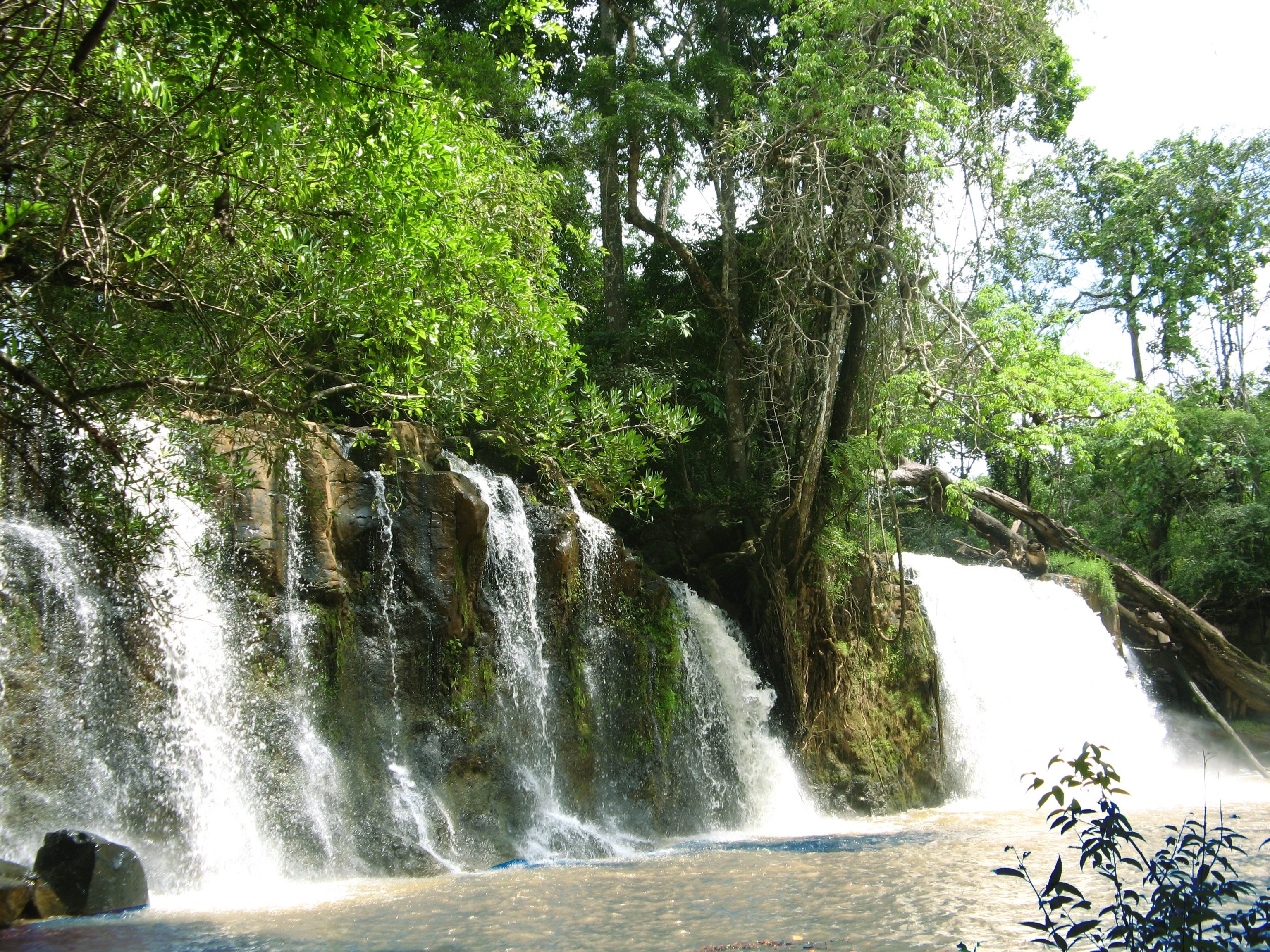
Large forest waterfall with swimming / picnic area. The location is now accessible by road. and can be reached by bike or 4x4 vehicle.
Map coordinates: 12.43089, 107.08004
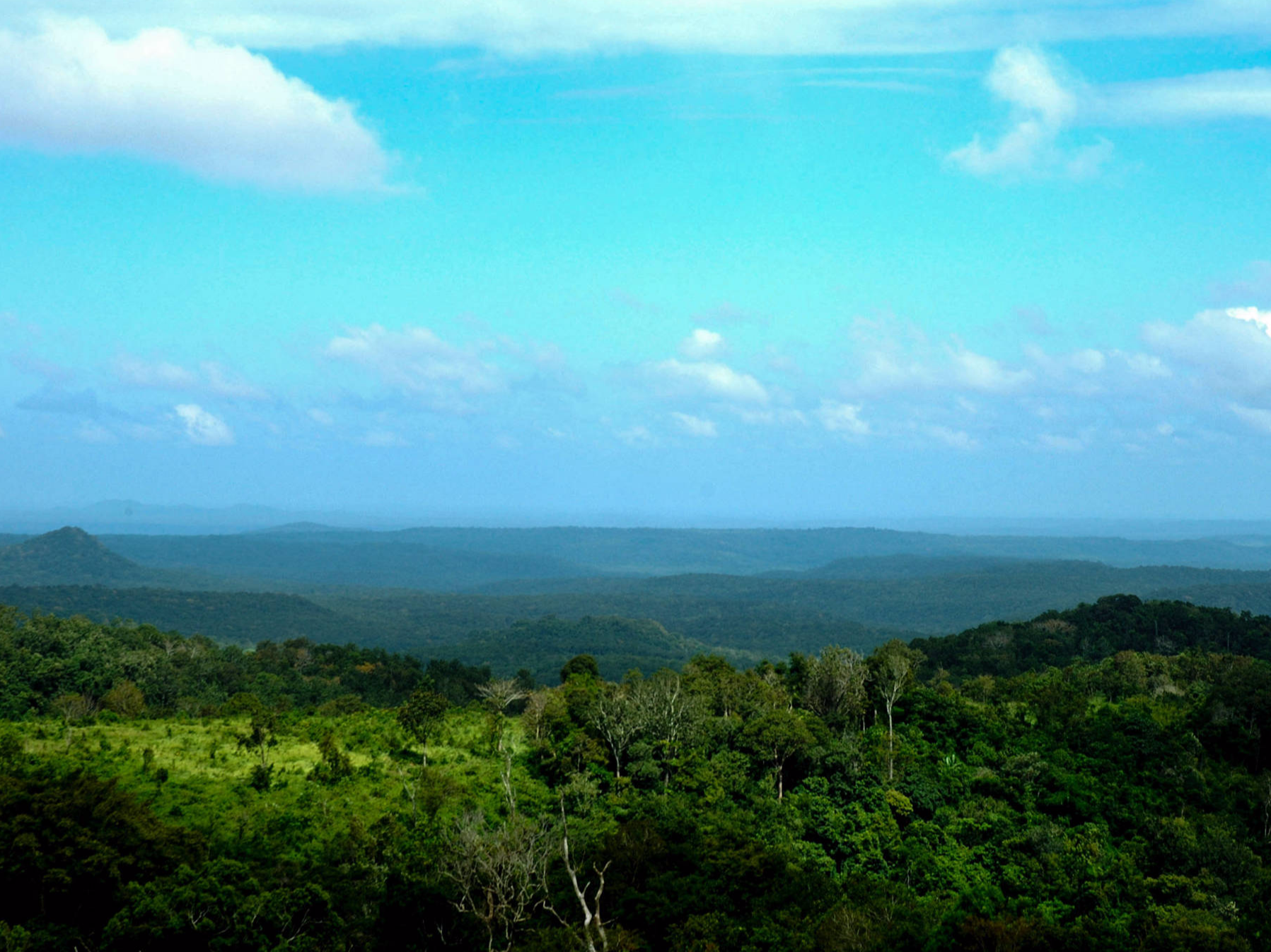
Samot Cher is a famous view point looking over Phnom Prich forest area. There is a cafe with children's play / photo fun area, near Lao Kah Village.
Map coordinates: 12.49699, 107.18361
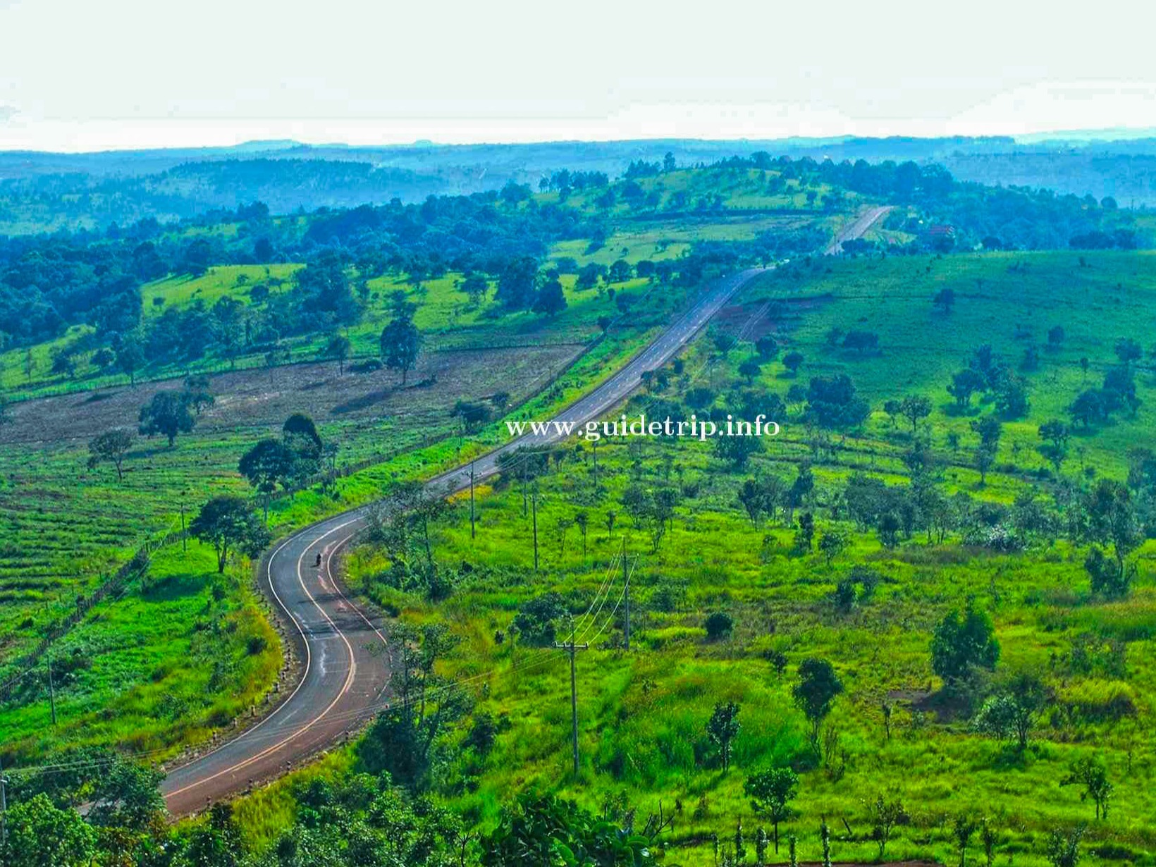
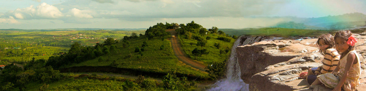
A popular view point on the road to Dak Dam, offering beautiful scenery and rolling hill views. If you're driving in this direction, you can additional visit Dak Dam village and waterfall. image ref
Map coordinates: 12.43222, 107.24708
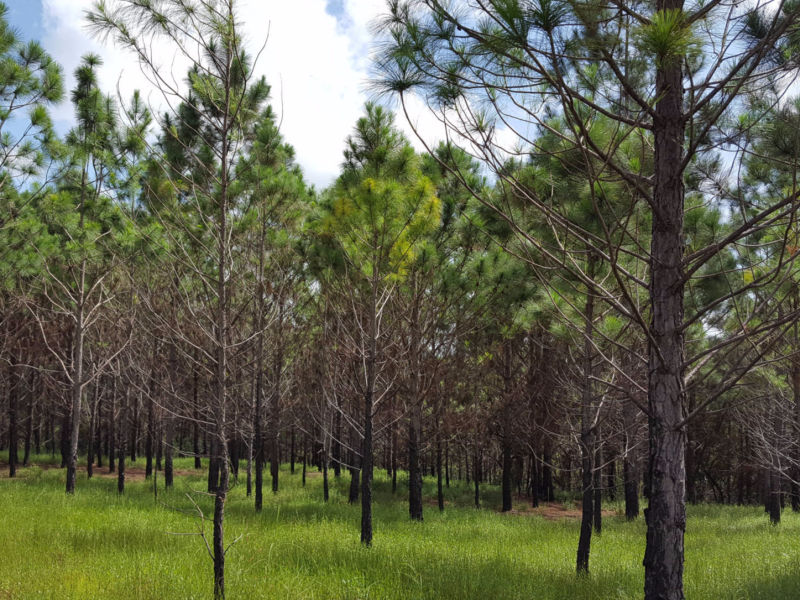
The pine forests around Sen Monorom make nice picnic spots, Please take a rubbish bag in order to keep them clean.
Map coordinates: 12.35597, 107.18073
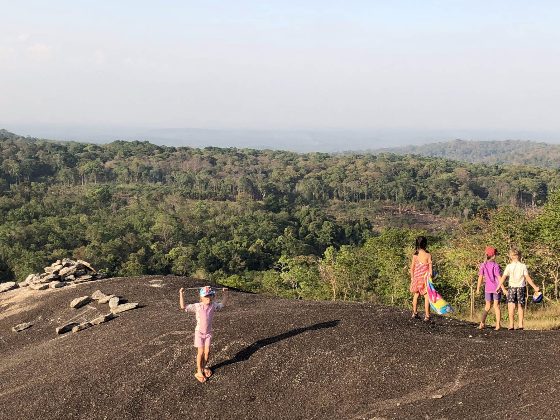
Giant round stone hill in the middle of the forest. Climbing the giant rock is a fun challenge, amazing views from the top. Plan your visit hours at the cooler morning of afternoon, watch video
Map coordinates:12.53797, 107.53572
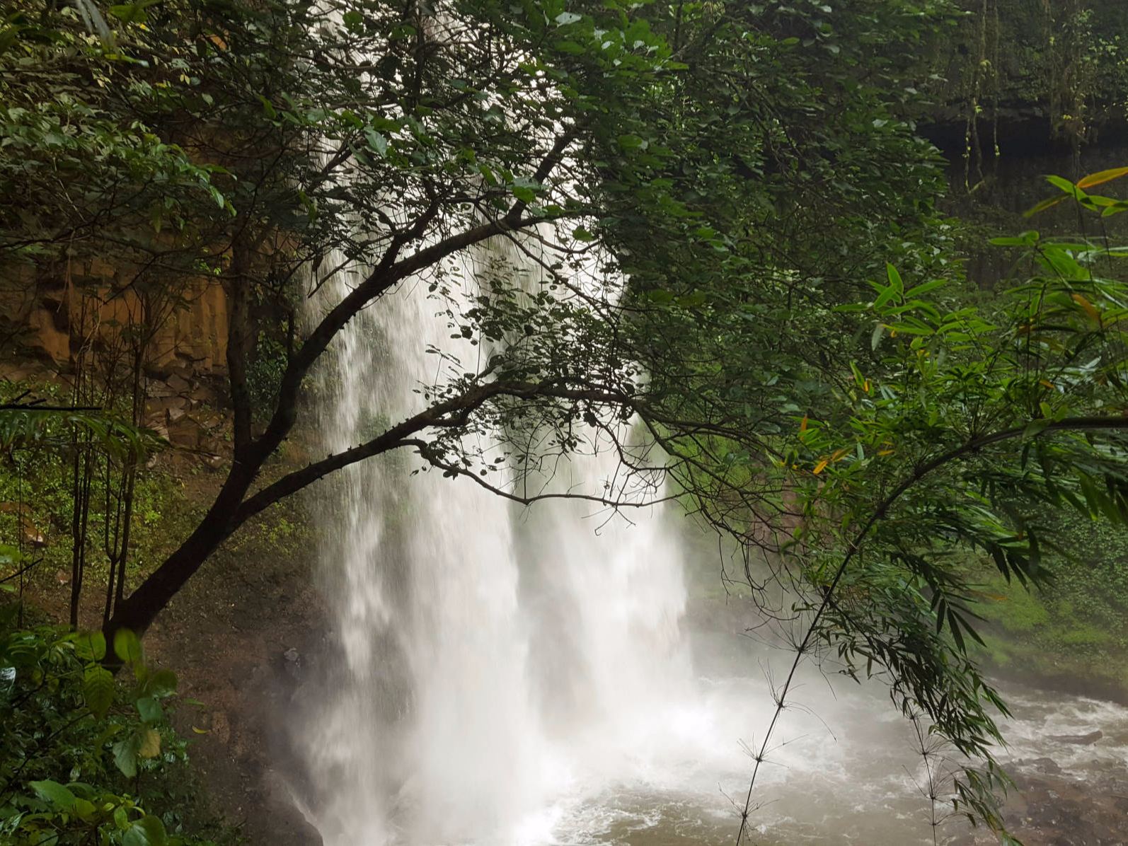
Nice area in the community forest of Putang, there's a small bat cave behind the falls. Road access is difficult, it's best to visit with a guide, trekking through the forest.
Map coordinates: 12.37787, 107.12796
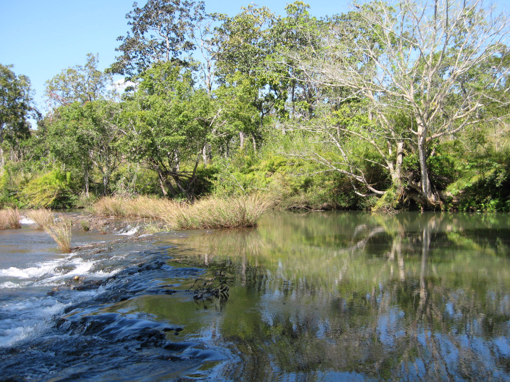
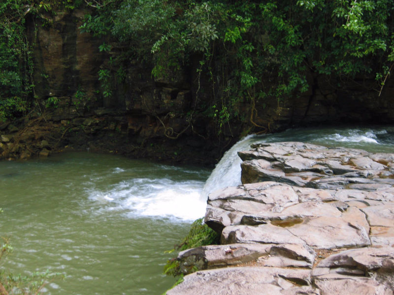
O'Plai is a deep natural pool behind a low waterfall. It's usually a nice swimming place although it is sometimes littered. Located on the way to Bu Sra.
Map coordinates: 12.5626, 107.36938

Road MK10, Chomka Tai
Sen Monorom,
Mondulkiri Province
Cambodia
Email: naturelodge@gmail.com
Mobile: +855(0)12 230 272
Phone: +855(0)66 775500
SHARE THIS PAGE: